In the late 1800’s, the Hagar Strawboard Mill was built in Cedarville.1 The process of producing strawboard included the pressing of straw, which produced a byproduct of contaminated water (water that had a very high pH). For years, the Mill simply dumped this water back into Massie Creek and continued on with their production.
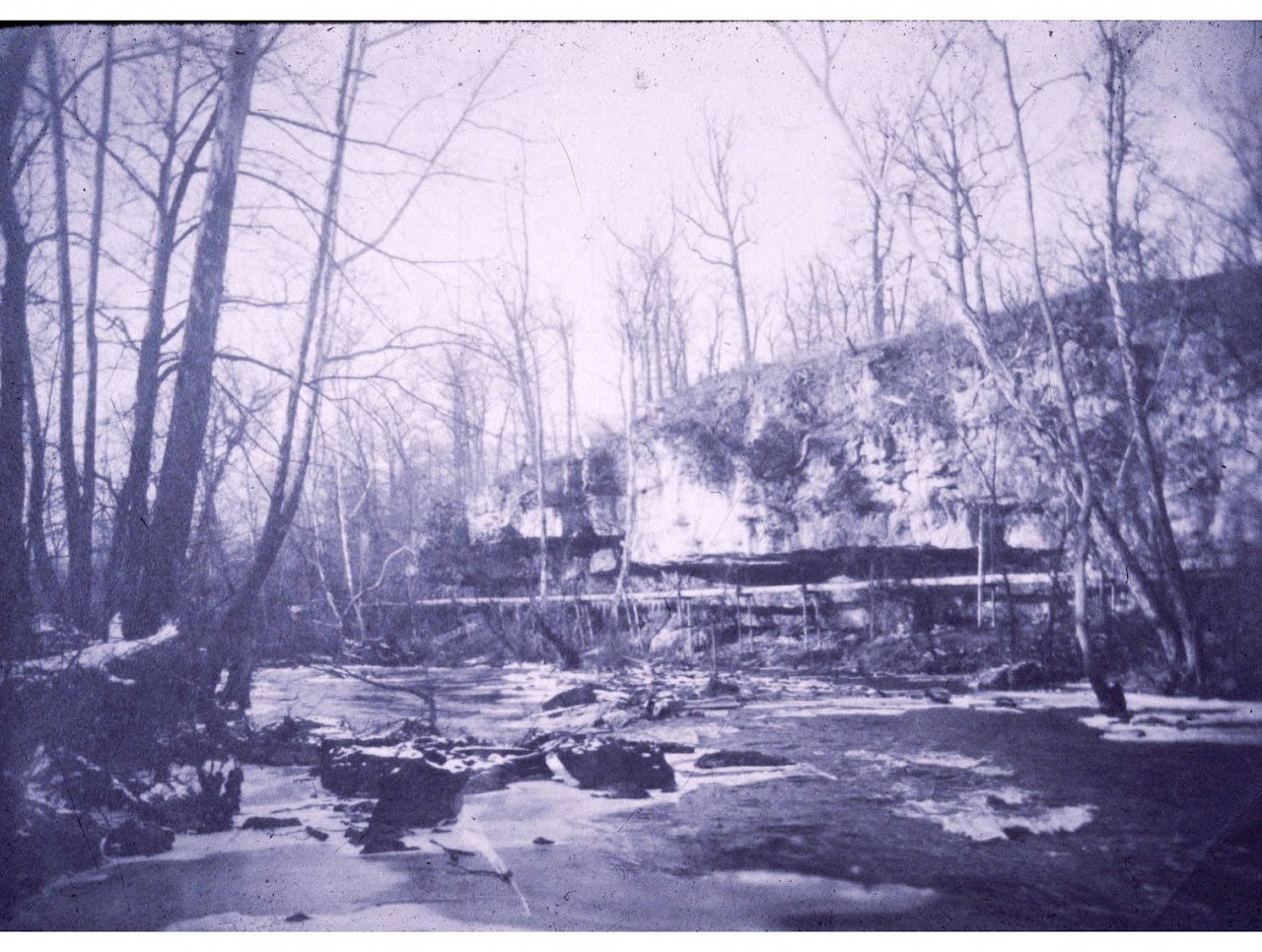
Retrieved from the Harold Strobridge Collection3
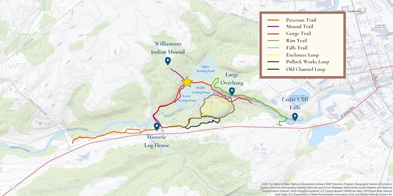
Retrieved from the Harold Strobridge Collection2
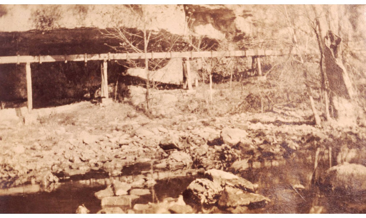
Over time, the Mill began to receive complaints about their wastewater. Not only was it killing fish and other wildlife that relied on Massie Creek as a water source, but it also smelled! So, the Mill came up with a solution. They decided to redirect their wastewater into ponds for the contaminated water to accumulate in. This would provide a space for the water to sit while the contaminants precipitated out over time. It is not clear whether any further steps were taken to purify the water. Clearly, this was not a very thorough solution to the problem, and evidence of pollution has been found all the way down to the Ohio River because of the Hagar Strawboard Plant.
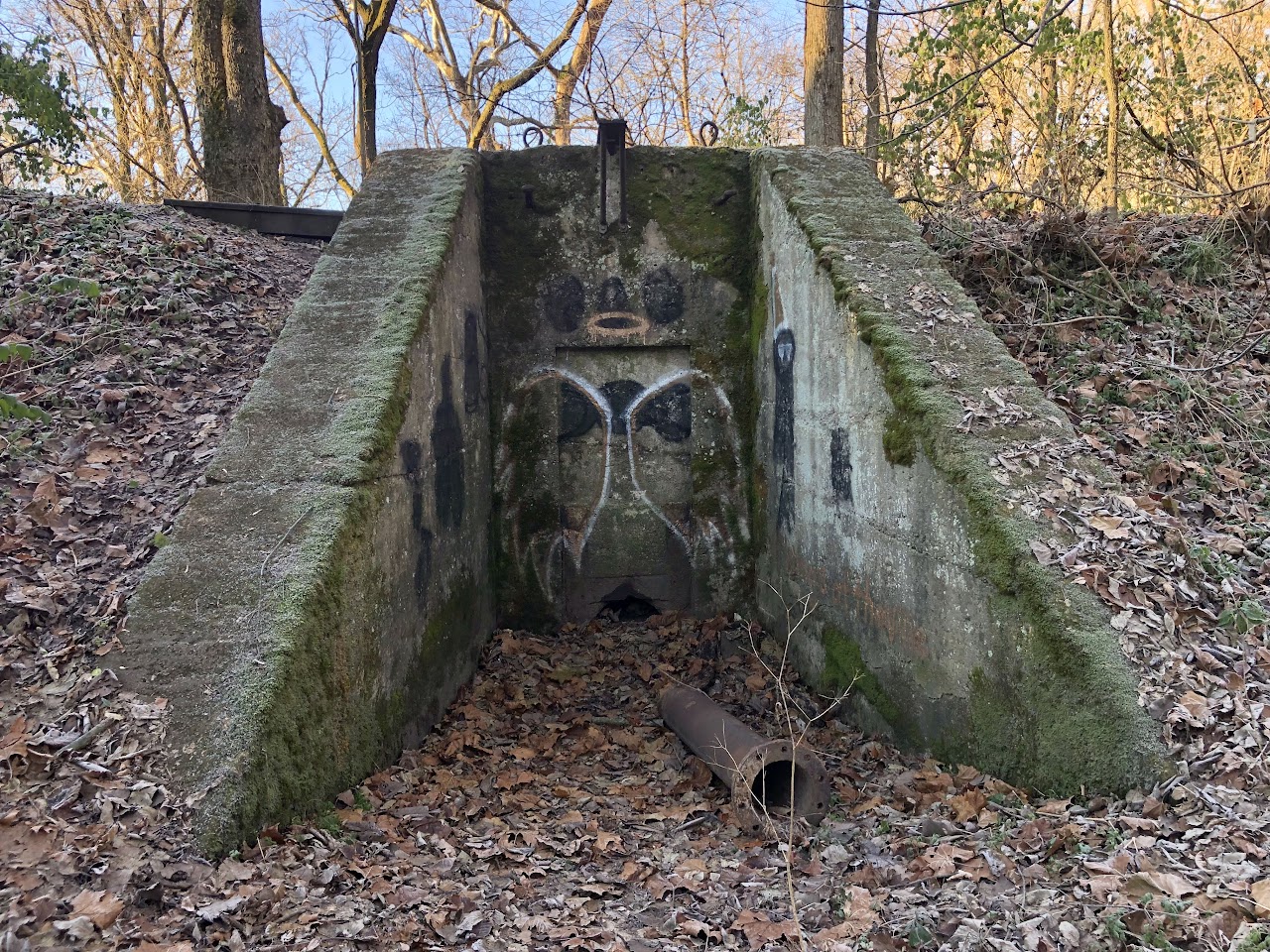
Remains of the Wastewater Ponds
There are three different wastewater ponds at the Indian Mound Reserve, though they are not easy to spot from the trails. Today, they look more like flat, barren land. The ponds surround the bridge closest to the Williamson Indian Mound, as shown on the map. When walking along the Gorge Trail from this bridge towards the Rim Trail, you may notice how straight and level the path is. That’s because you are walking on a dike: a wall built along one of the wastewater ponds to keep the water in.
There is also an old valve built into the dike that you may notice while walking over it. This valve was opened to release water from the wastewater pond back into Massie Creek once the Mill workers saw it fit to reintroduce back into the river.
You may also notice some remains lying underneath the Large Overhang. These concrete blocks were used to support the flume, which carried water to and from other pipes and aqueducts all the way from the Hagar Strawboard Mill down to the wastewater ponds.
REFERENCES
Dills, R. S. (2006). Cedarville Township. In History of Greene County: Together with historic notes on the northwest, and the state of Ohio gleaned from early authors, old maps and manuscripts, private and official correspondence, and all other authentic sources (pp. 536–574). essay, Filmed by University Microfilms International.
Strobridge, H. (n.d.). Cliffs Trough. photograph, Cedarville.
Strobridge, H. (n.d.). Paper Mill Trough. photograph, Cedarville.